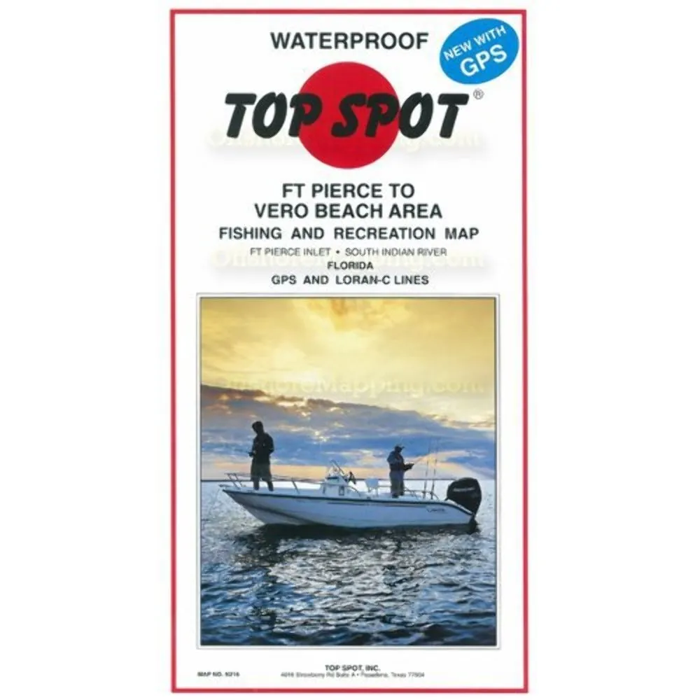
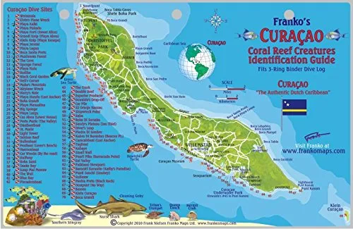
Welcome to the detailed presentation of the Top Spot Map N-216, specifically designed for fishing enthusiasts and diving adventurers exploring the beautiful waters from Ft. Pierce to Vero Beach. This comprehensive map stands out due to its waterproof feature, making it an essential tool for both freshwater and saltwater excursions.
The Top Spot Fishing Maps are not just ordinary maps; they include extensive information about various fishing locations, boat ramps, marinas, and other points of interest, ensuring that your fishing trip is both enjoyable and successful. With the inclusion of GPS coordinates, you can easily navigate to prime fishing spots and discover hidden gems along the waterways.
| Product Type: | Sporting Goods |
| Package Height: | 2.032 Centimeters |
| Package Length: | 0.508 Centimeters |
| Package Width: | 19.05 Centimeters |
The Top Spot Map N-216 covers crucial areas such as the Ft. Pierce Inlet and the South Indian River, providing detailed information necessary for both fishing and diving recreation. This map is designed to enhance your outdoor experience, allowing you to plan your trips meticulously.
Furthermore, the waterproof feature ensures that even in wet conditions, the map remains intact and legible. Whether you’re an experienced angler or a casual diver, this map equips you with the knowledge needed to explore the rich marine life and beautiful coastal areas.
In summary, the Top Spot Map N-216 is more than just a map; it is a gateway to adventure. With its detailed GPS coordinates, waterproof design, and extensive information on fishing locations, it is an indispensable companion for anyone looking to make the most out of their fishing and diving experiences in the Ft. Pierce to Vero Beach region.


Reviews
There are no reviews yet.