Discover the beauty and fishing richness of the Upper Chesapeake Bay with Captain Segull’s Nautical Fishing Chart. This meticulously designed laminated chart, measuring 19.5 inches by 26.5 inches, offers detailed nautical information that is essential for both novice and experienced anglers alike.
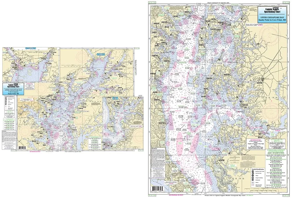
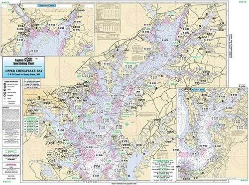
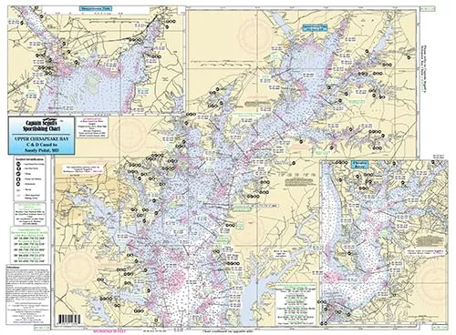
Side A of the chart covers the inshore waters of the Upper Chesapeake Bay, extending from the C & D Canal to Sandy Point, Maryland. This section includes a valuable inset that highlights the Susquehanna River and Northeast River, allowing you to navigate these significant waterways with ease. You’ll find numerous fishing areas clearly marked, as well as detailed information about wrecks, reefs, and local names, ensuring that you have all the necessary information to enhance your fishing experience.
Side B of the chart continues the journey from Sandy Point to Cove Point, Maryland. This section is equally detailed and provides the same level of information as Side A, giving you comprehensive coverage of the Upper Chesapeake Bay area. With the inclusion of GPS coordinates to the thousandths of a minute, you can confidently explore these waters knowing you have accurate navigation data at your fingertips.
| Key Features | Details |
| Chart Size | 19.5′ x 26.5′ |
| Material | Laminated for durability |
| Coverage | C & D Canal to Cove Point, MD |
| Includes | Fishing areas, wrecks, reefs, local names, GPS coordinates |
| Incorporates | NOAA Charts 12263 & 12273 |
This chart is more than just a navigational tool; it is a gateway to discovering the hidden fishing gems of the Upper Chesapeake Bay. Whether you are planning a weekend fishing trip or a longer adventure, having this laminated chart on board will significantly enhance your fishing success. You can easily identify the best spots to cast your line and enjoy the great outdoors.
In conclusion, Captain Segull’s Nautical Fishing Chart for the Upper Chesapeake Bay is a must-have for every fishing enthusiast. Its detailed design, durability, and comprehensive information make it an invaluable resource for navigating and fishing in these beautiful waters. Prepare for your next fishing adventure with confidence and clarity, knowing you have the best chart to guide you.



Reviews
There are no reviews yet.