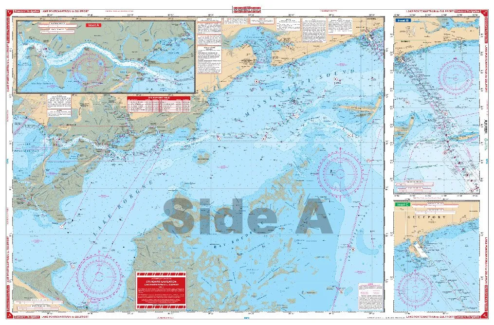
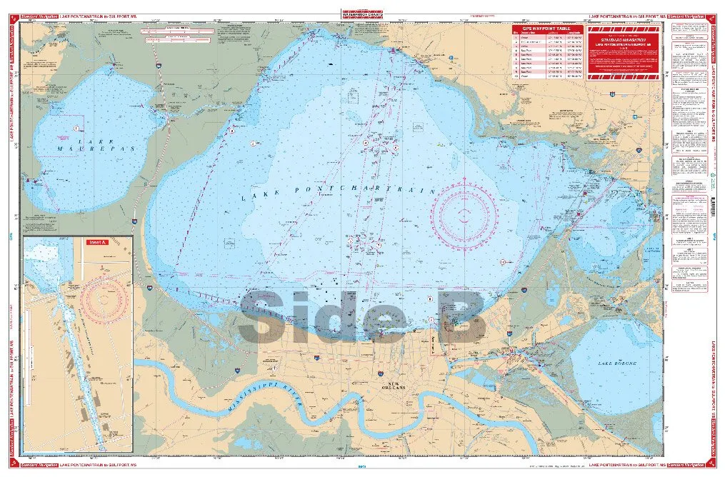
Introducing the Waterproof Charts for 40 Lake, your ultimate guide for navigation in the stunning waters from Ponchartrain to Gulfport. These charts are designed to withstand the elements, ensuring that you have reliable navigation tools at your fingertips, whether you’re out for a casual day on the water or engaged in serious boating adventures.
When it comes to navigation, having the right tools can make all the difference. Our Waterproof Charts provide detailed and accurate information, making it easier for you to navigate through the lakes and waterways. The charts include vital information that can enhance your experience on the water, ensuring that you can make the most of your time outdoors.
Features of the Waterproof Charts include:
| Durability | Designed to be waterproof, these charts resist damage from water exposure, ensuring longevity. |
| Precision | High-quality details that provide accurate information for safe navigation. |
| Area Coverage | Covers the area from Ponchartrain to Gulfport, crucial for local navigation. |
| Easy to Use | Clear markings and legends make it simple for anyone to understand and utilize. |
Whether you’re a seasoned navigator or a beginner looking to learn, these charts are invaluable. You can trust that the information presented is accurate and up-to-date, making your navigation experience efficient and enjoyable.
Don’t let subpar navigation tools hold you back. Equip yourself with the Waterproof Charts for 40 Lake, and confidently explore the beautiful waterways that connect Ponchartrain to Gulfport. With these charts in hand, you’re ready to embark on your next adventure.
Enjoy the freedom of navigation without the fear of damaging your charts. Our Waterproof Charts are not just a product; they are an essential companion for your boating journeys. Make sure to add these charts to your boating gear to ensure you have the best navigation experience possible.


Reviews
There are no reviews yet.