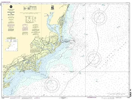
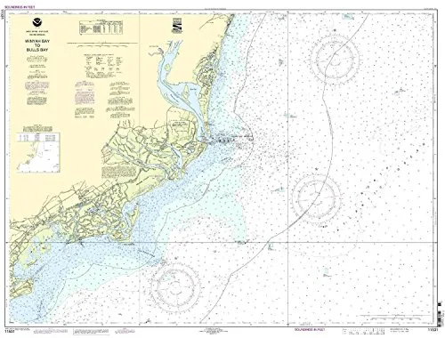
Introducing the Winyah Bay Entrance to Isle of Palms Nautical Chart, a premium product from OceanGrafix that is designed to meet the needs of mariners navigating the waters of the Eastern U.S. and Canada. This particular chart is not just any ordinary chart; it is NOAA-approved, ensuring that you have the most reliable and accurate information at your fingertips.
One of the standout features of this nautical chart is that it is printed only after an order has been received. This means that you can trust the information is the most up-to-date available. As you may know, having the latest nautical information is crucial for safe navigation, especially in busy waterways.
Additionally, all Notice to Mariners corrections are applied, providing you with peace of mind knowing that your chart reflects the latest navigational changes. This is especially important for anyone involved in commercial shipping, as it meets both U.S. and international carriage requirements for vessels.
The Winyah Bay Entrance to Isle of Palms Nautical Chart is approved by the U.S. Coast Guard, further adding to its credibility. You can navigate with confidence knowing that you are using a chart that adheres to the highest standards set by maritime authorities.
| Scale | 1:80000 |
| Dimensions | 34.13” H x 43.12” W |
In conclusion, if you are looking for a reliable, up-to-date nautical chart for the Winyah Bay Entrance to Isle of Palms, look no further. This NOAA-approved chart not only meets essential navigational requirements but also provides detailed and accurate information that is vital for any mariner. Don’t compromise on safety; choose the Winyah Bay Entrance to Isle of Palms Nautical Chart for your next journey on the water.


Reviews
There are no reviews yet.