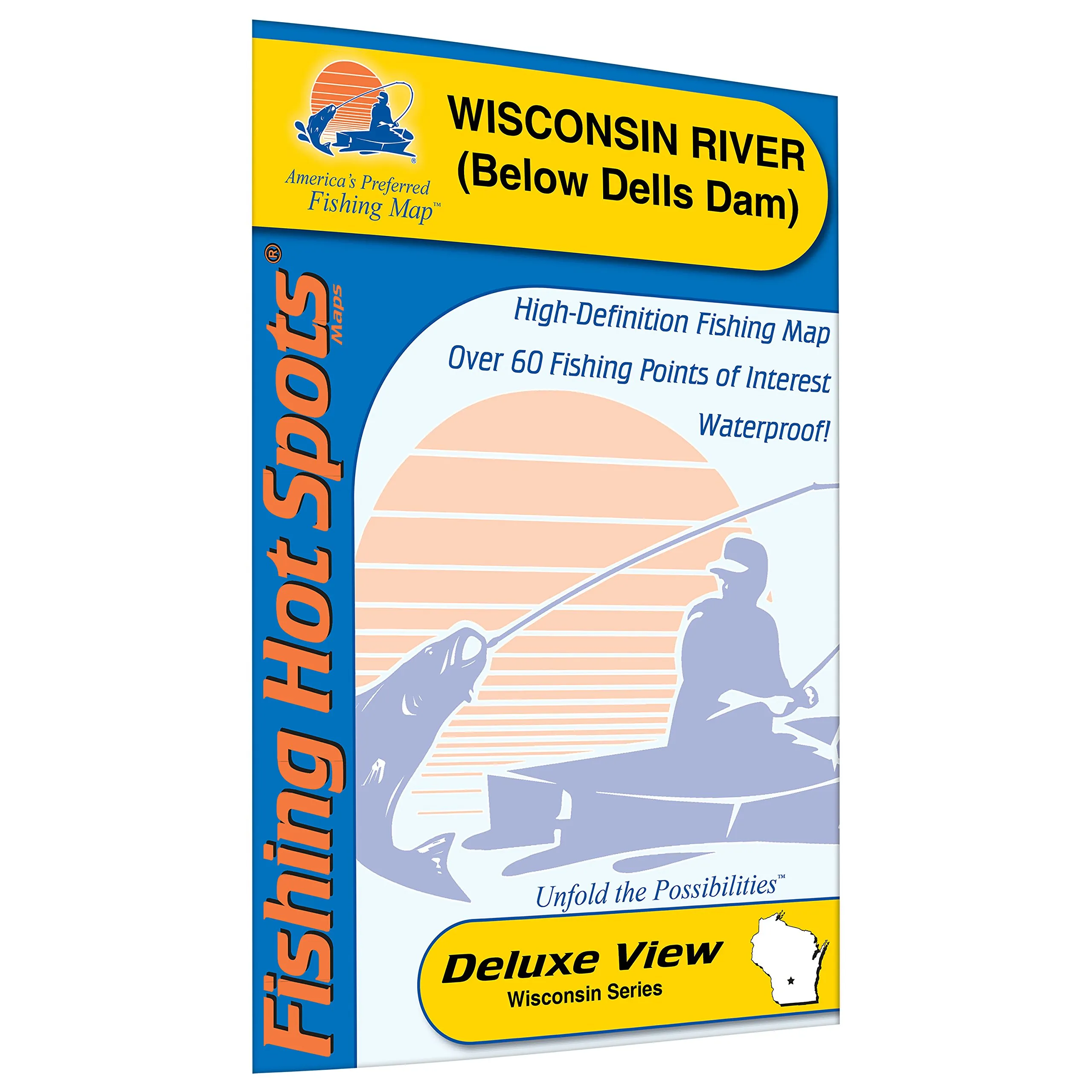
The Wisconsin River below the Dells Dam is a renowned destination for anglers throughout the Midwest. Known for its stunning scenic cliffs and pristine shorelines, this area is not only visually captivating but is also recognized as one of the premier spots for early-season walleye fishing. To help you navigate this fishing paradise, we present the Fishing Hot Spots Wisconsin River Fishing Map, meticulously designed for both seasoned anglers and novices alike.
This fishing map covers approximately 2.5 miles of the Wisconsin River, providing detailed insights into the best fishing locations along this stretch. However, it’s important to note that Fishing Hot Spots offers an extensive series of maps for the Wisconsin River, totaling nearly 33 miles of fishing opportunities. This comprehensive mapping ensures that no matter where you find yourself on the river, you’ll have access to vital fishing information.
Crafted from durable, waterproof material, this fishing map is built to withstand the rigors of outdoor use. Whether you’re out on the water or facing unpredictable weather conditions, you can trust that this map will hold up and provide the guidance you need. The waterproof feature means you can easily refer to it without worrying about damaging it during your fishing trips.
One of the standout features of this map is the shaded depth areas, which are expertly researched and color-coded to help you quickly identify key fishing zones. This thoughtful design allows anglers to make informed decisions about where to cast their lines. Additionally, marked fishing areas included on the map indicate where the fish are likely to be, increasing your chances of a fruitful fishing day.
For those who rely on boat access, the map clearly marks all relevant access points. Knowing where to launch your boat or where to find safe docking areas is crucial for a successful fishing outing. This practical feature makes it easier for you to plan your trips and maximize your time on the water.
| Feature | Description |
| Durable Material | Made from waterproof, tear-resistant materials to withstand outdoor conditions. |
| Coverage | Covers 2.5 miles of the Wisconsin River with detailed fishing hotspots. |
| Research | Expertly researched with color-coded shaded depth areas for easy navigation. |
| Access Points | Clearly marked boat accesses for convenience and safety. |
In summary, the Wisconsin River Fishing Map below the Dells Dam is an indispensable tool for anyone looking to enjoy fishing in this beautiful region. With its durable construction, detailed coverage, and expert insights, you’ll be well-equipped for a successful fishing adventure. Whether you’re pursuing walleye or simply enjoying the serene beauty of the river, this map will enhance your experience and help you make the most of your time on the water.


Reviews
There are no reviews yet.